


Smart Geology
Provide information services based on geological resource related data to achieve deep mining, sharing, and exchange of geological resource information.


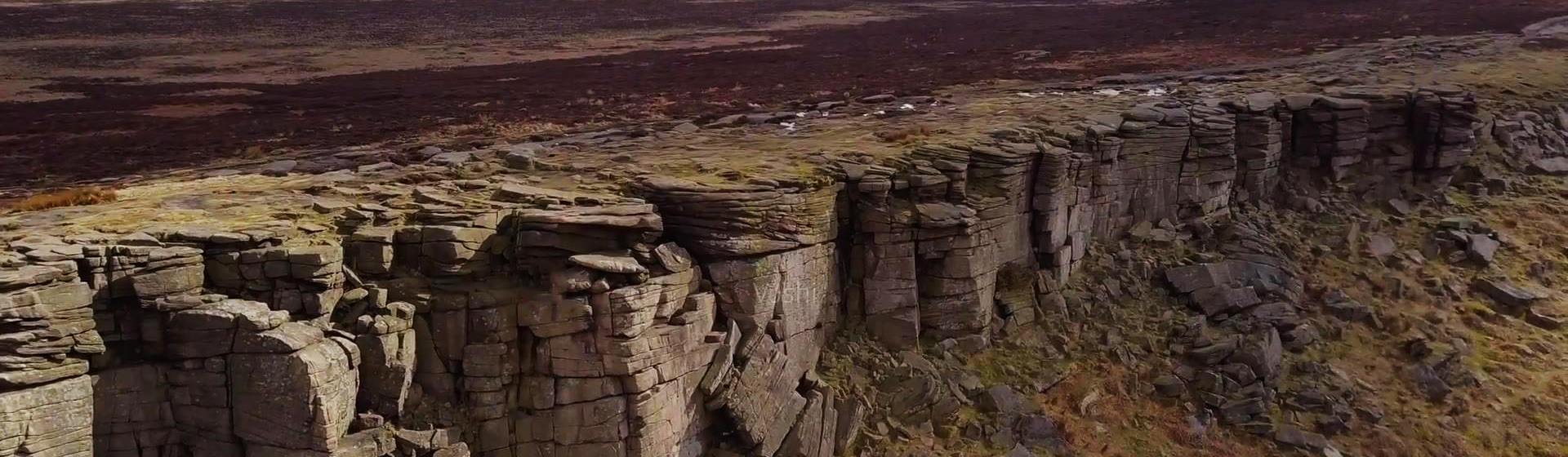
Information technology solution for engineering survey

The MapGIS engineering survey information solution covers the management of engineering survey projects and the main processes of operations, enabling better integration of field engineering survey and office data processing and output to improve staff efficiency and provide management services for engineering survey operations.
MapGIS Mining Management and Modeling System
The MapGIS Mine Management and Modeling System is a product developed by China National Land and Resources Corporation based on the "General Principles for Solid Mineral Exploration" (GB/T13908-2020) and the "Technical Requirements for 3D Geological Modeling of Solid Mineral Exploration" (DZT0383-2021). It integrates mine data management and modeling analysis for solid mineral resources using the MapGIS platform. With the powerful data management and modeling functions provided by the system, it can achieve 3D reconstruction, visualization expression, and 3D expression of attribute features of various geological bodies and geological structures. It can deeply analyze the spatial structure of geological bodies, provide 3D model data for mineral resource exploration, resource estimation, mineralization law research, mineralization prediction, mining and mine management work, and serve mineral resource exploration and development and mine management work.
Geological big data cloud platform
Rely on cloud computing, Internet plus, big data and other information technologies, eliminate the digital divide, integrate and share data resources, and build a geological big data intelligent platform with high flexibility, efficiency, and reliability.
Integrated solution for urban geology above ground and underground
With the aim of serving the sustainable development of urban society and economy, we closely focus on the geological problems faced by cities, and fully leverage the disciplinary advantages of geological work according to the needs of urban overall planning.
MapGIS Smart Environmental Protection Solution
The MapGIS intelligent environmental protection information platform takes data as its core and caters to the construction needs of different types of users, such as environmental protection and energy-saving enterprises, environmental professional monitoring units, government business management departments, and other dimensions. It achieves comprehensive integration of all elements of environmental business system and perception system information, integrates multi-dimensional analysis technology, and creates comprehensive visual analysis applications and multi business integration application scenarios.
MapGIS Field Data Collection System
The MapGIS field data collection system starts from the actual needs of field investigations, based on the investigation business itself, and applies GIS technology, modern database technology, visualization technology, and computer network technology to build a field data collection backend management system and a field data collection system mobile end, realizing real-time storage and sharing of investigation data, providing information support for field investigations, and improving the quality and efficiency of field data investigation work; At the same time, it directly collects and stores field survey data, and can be connected with professional mapping tools to assist in the full process informatization transformation from "investigation database construction mapping modeling".
MapGIS Geological Data Management and Display System
The MapGIS Geological Data Management and Display System has developed a standardized management model for geological data based on the "Guidelines for the Construction of Geological Environment Survey Databases for Important Economic Zones and Urban Agglomerations (2014 Edition)" and the "Structural Specification for Urban Geological Survey Databases (DD2015-04)". The aim is to free geological professionals from the tedious work of data collection and organization, improve work efficiency, and promote the application and service of geological information.
Geological Informationization Solution
To carry out information technology applications that integrate data collection, processing, standardization, auxiliary mapping, 3D modeling, analysis and evaluation, and information sharing in various fields such as urban geology, mineral resources, underground space, engineering exploration, geological environment, coastal zone, and seismic geology
MapGIS Iterative Geological Modeling Tool
Compared with traditional two-dimensional geological data representation methods, three-dimensional models can fully and accurately express the boundary conditions of complex geological phenomena and various geological structures contained within geological bodies, intuitively reproduce the spatial distribution and interrelationships of geological units, and maximize the intuitiveness and accuracy of geological analysis. Therefore, 3D geological modeling technology has a wide range of application fields, including regional geological surveys, mineral resource exploration, mine design, mine production management, urban geological surveys and urban underground space management, hydrogeology, engineering geology, environmental geology, earthquake prediction, and many other industries that play a supporting role in the national economy.
MapGIS Groundwater Informatization Solution
The underground water information solution is supported by the MapGIS platform, which integrates the storage and management of monitoring data, hydrogeology, related business management and other types of data, explores the deep value of data, supports the output of 2D and 3D thematic results, vividly displays the occurrence state of underground water under natural geological conditions, creates multiple underground water thematic information application scenarios, and provides data support for underground water development and utilization, underground water ecological protection, engineering construction impact assessment, etc.
Related Software
Smart City
- Smart City Spatiotemporal Big Data Platform
- MapGIS Smart Thermal Solution
- Smart Emergency Command Platform
- MapGIS Field Work Order Solution
- Enterprise One Picture Solution
- Smart Security Combat Platform
- MapGIS Pipeline GIS Solution
- Smart Chemical Industrial Park Solution
- Smart Patrol and Prevention Platform
- MapGIS Integrated Management System Solution for Underground Municipal Facilitie
Natural Resources
- National Land Space Basic Information Platform: Smart Hub
- National Spatial Planning Implementation Monitoring Network (CSPON)
- Real estate convenience service system
- Realistic 3D Solution
- Natural Resource Asset Management Solution
- One code land management solution
- Ocean monitoring solutions
- Intelligent Disaster Management Solution
- Integrated solution for natural resources e-government
- Land survey solution
Smart Geology
- MapGIS Digital Twin Watershed Solution
- MapGIS Groundwater Informatization Solution
- MapGIS Iterative Geological Modeling Tool
- Geological Informationization Solution
- MapGIS Geological Data Management and Display System
- MapGIS Field Data Collection System
- MapGIS Smart Environmental Protection Solution
- Integrated solution for urban geology above ground and underground
- Geological big data cloud platform
- MapGIS Mining Management and Modeling System
More Applications
- Series solutions for the communication industry
- MapGIS CIM Underground Space Platform
- Smart wind power solution
- Solution for Radio and Television Resource Management
- Transportation Meteorological Support Service Solution
- High performance processing solution for remote sensing images
- Multi source remote sensing data management solution
- Solution for Multi source Meteorological Information Integration Application and Service Platform
- Solution for Visualization Platform of Meteorological 3D Storm Body Echo Data
- Solution for Weather Radar Construction Business Platform


